Land use and Urban Sprawl In Puerto Rico
|
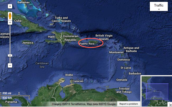
Puerto Rico lies at the juncture of the Greater and Lesser Antilles. It is in the path of hurricanes and tropical storms approaching the western hemisphere, atmospheric dust from the African continent, and distinct air masses arriving from across the Atlantic or from the eastern seaboard of the United States. At a broad scale, these climatic events are controlled by cyclic global climate patterns as well as by human-induced carbon emissions that are changing climate. At a more local scale, ecosystems respond to a range of environmental conditions and are influenced by historical patterns of changing land use throughout the island. Because of these climatological anomalies and land use patterns Puerto Rico is an appealing region for urban studies: it is a mildly dense population where urbanization has occurred under an inadequate plan of land development that has resulted in uncontrolled urban sprawl; the landscape is in rapid transformation due to urban expansion and forest recovery (this forest recovery can be explained by the abandonment of agriculture) With the rapid change in land cover comes a responsibility for sustainable growth while preserving the multitude of ecological systems located throughout the island.
|
There has been limited oversight form the local government while this transformation from an agricultural economy to a service and industrial based economy has taken place, and unfortunately Puerto Rico is developing its land like many places in the contiguous United States, with a large degree of Sprawl. Finally, the island could provide great insight for ecological conservation and sustainable land development in many other tropical areas that are undergoing a similar transformation economically, socially, and environmentally
|
